WEAP ("Water Evaluation And Planning" system) is a user-friendly software tool that takes an integrated approach to water resources planning.
Freshwater management challenges are increasingly common. Allocation of limited water resources between agricultural, municipal and environmental uses now requires the full integration of supply, demand, water quality and ecological considerations. The Water Evaluation and Planning system, or WEAP, aims to incorporate these issues into a practical yet robust tool for integrated water resources planning. WEAP is developed by the Stockholm Environment Institute's U.S. Center.
WEAP Highlights
Integrated Approach
Unique approach for conducting integrated water resources planning assessments
Stakeholder Process
Transparent structure facilitates engagement of diverse stakeholders in an open process
Water Balance
A database maintains water demand and supply information to drive mass balance model on a link-node architecture
Simulation Based
Calculates water demand, supply, runoff, infiltration, crop requirements, flows, and storage, and pollution generation, treatment, discharge and instream water quality under varying hydrologic and policy scenarios
Policy Scenarios
Evaluates a full range of water development and management options, and takes account of multiple and competing uses of water systems
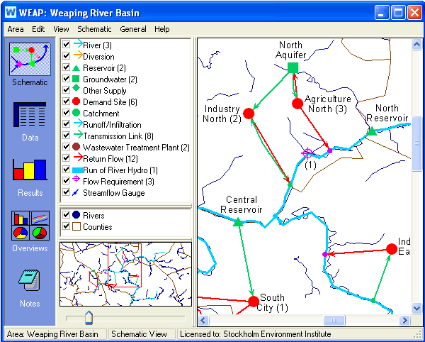
User-friendly Interface
Graphical drag-and-drop GIS-based interface with flexible model output as maps, charts and tables
Model Integration
Dynamic links to other models and software, such as QUAL2K, MODFLOW, MODPATH, PEST, Excel and GAMS